Wiki is itself inconsistent in how it expects to find geocoordinates expressed in text. Here we provide examples of formats we recognize and a number we have seen that don't work for us yet.
See Import Geodata that got this started.
# Plugins
Shift-double-click on a map will place a marker.
Boulder, Colorado SEARCH 40.0149856, -105.2705450 Boulder, Boulder County, Colorado, United States
Boulder, Colorado 40.0132563, -105.2593774
We can edit this such that the name appears on the marker.
40.0132563, -105.2593774 Boulder, Colorado
We try Map's SEARCH feature. About Map Keywords
40.0149856, -105.2705450 Boulder, Boulder County, Colorado, United States
The About page suggest 'nautical' format as an alternative.
45°36'43.3"N 122°43'52.8"W Smith Lake, Portland
The recently improved Image plugin will capture geodata from the EXIF fields of images.

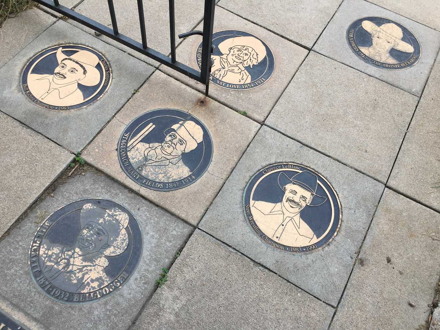
Street Plaques, Denver, Colorado
Double-click the image for lat/lon edit fields. This ends up stored in the page json for the item.
"location": { "latitude": "39.759280555555556", "longitude": "-104.97432777777777" }
# Scripts
I often represent geocoordinates as decimal lat/lon arrays for easy computation. See Great Circle Distance
let here = [45.470493,-122.7486358] let there = [44.5223676,-122.6336633]
Jeff's weather station sample data was partially parsed and expressed as javascript objects using a mixture of degrees, minutes and meters for elevation. script ![]()
{ code: "KCRV", name: "CORONA PASS, CO, United States (KCRV)", location: "40-03N 105-35W 3538M" }
Robert Sterbal offered sample data geolocated by ChatGPT. He had two locations in Colorado. matrix ![]()
San Juan National Forest, Colorado 37.4683° N 107.4710° W Rocky Mountain Arsenal National Wildlife Refuge, Colorado 39.8159° N 104.7966° W
# Challenge
We invite script authors to fork this page and write a script that would use About Frame Integrations to read and convert as many of these formats as possible then emit marker-source via About Frame Source to be viewed on additional Map plugins.
Tip: see Colorado Geodata in Context for some of these markers on a map. Sometimes zooming makes markers more clickable.